Website Search
Find information on spaces, staff, and services.
Find information on spaces, staff, and services.
This collection of historic materials includes plat books, atlases and school yearbooks and school newspapers that document early Northeastern Wisconsin, specifically Brown, Door, Kewaunee and Shawano counties.
A variety of plat books and atlases were chosen because of their frequent use and fragile condition. They are widely used by the public for local history and genealogy. They assist persons seeking the origin of street names and trace neighborhoods that were once farmland or heavily forested lands. These are listed in order by county: Brown, Door, Kewaunee, and Shawano. In searching within these volumes, note that the spelling of towns and villages may have changed over the years. For example, Gibralter (as spelled in the 1914 Atlas of Door County) is currently spelled Gibraltar.
School yearbooks and newspapers included in this collection are The Okato (1922-1926), The Bay Mist (1910, 1912, 1922), The Aeroplane (1914-1921), East High Aeroplane (1924-1925), The Flashes (1912-1925), The Thistle (1908, 1913), The Crescent Beach Echoes (1909-1911, 1913, 1917, 1920, 1923), The Bugler (1918, 1922), Scroll of the Wolves (1929) and Lake Whispers (1915-1916, 1921-1925).
This is the second known city directory of Green Bay and Fort Howard. It is more user-friendly than its predecessor of 1872. The 1874-75 directory lists residents in alphabetical order with residences listed by a physical description of north or south and east or west of a main cross street. There are very few residences listed with street numbers. The directory is divided into two sections, the first for the City of Green Bay (east side of the Fox River) and the second for the City of Fort Howard (west side of the Fox River).
In addition to the alphabetical listing of the citizenry and businesses, each community has a brief narrative of churches, schools, and societies, including cultural or benevolent. If historical research or a genealogical study is being conducted these narratives should be helpful because of the many individuals listed by name.
A listing of government offices and officials, ward boundaries, a street name/guide, and an index to advertisements is located at the front of the city directory.
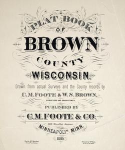
This plat book documents some of the earliest land holders in the rural areas of the County. The map shows the development of the County's cities, towns and unincorporated communities to 1889. The map also documents how the early land holders had sold some of their holdings to immigrants, as they began to flow into Brown County in the mid-1800s.
The 1900 plat book is poorest in quality of the four; however, it provides information which will show changes in land ownership after 1889. The main focus of the 1900 plat book is to document land holders in rural areas. It focuses on towns, not on cities or unincorporated areas. Limited as it is, the maps do provide information on ownership changes.
The 1928/1930 plat book is most likely a combination of two publications by W.W. Hixson & Co. of Rockford, Illinois. According to cataloging information from the Map Collection at the Wisconsin Historical Society, W.W. Hixson & Company published a Plat Book of Brown County, Wisconsin in 1928 of 22 pages. Then in 1930 W.W. Hixson & Co. published an Atlas of Brown County which had 239 pages. The volume the Brown County Library owns is labeled Atlas of Brown County, Wisconsin, with a hand written note by the owner, "1928", which can be found in two places. Also the bill of sale/receipt is located in front of the volume with October 1927 as the date of sale. The volume includes land ownership for the Towns in Brown County; the City of De Pere is shown with Town of De Pere with little information other than boundaries. The City of Green Bay is the largest part of the volume and shows all of the subdivisions by name, with blocks and lots given for specific parcels. The City of Green Bay maps do not list individual property owners.
The 1936 plat book shows the beginnings of the suburbanization of Brown County; this can be seen in the Towns of Allouez and Preble. Both the 1928 and the 1936 plats show the change in ownership of land by family members. After World War I many families moved off the farms to become members of the industrial workforce in the cities, this can be seen in its beginnings in the 1928 plat book and continued in the 1936 plat book. Also, in the 1936 plat book, the movement from farms to cities caused by the Great Depression is evident. The 1936 plat shows the influence of the automobile on the County. The rural towns, which had frontage on the waters of Green Bay, have many subdivisions for cottages along both the east and west shorelines of the Bay. These subdivisions are illustrated in the 1936 plat book.
This collection of maps is an illustrated plat book of Door County in 1899. A county directory of landowners by township and numerous photographs enhance this volume.
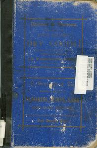
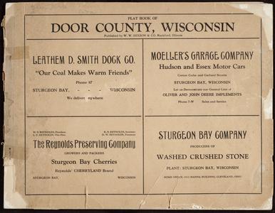
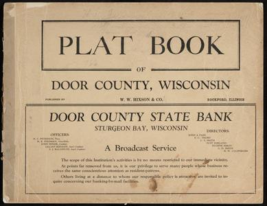
Detailed plat maps of Door County and they contain numerous pages of advertising.
The 1914 collection of plat maps includes a business directory that encompasses all townships in the county.
Detailed plat maps of Door County and they contain numerous pages of advertising.
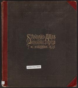
Landowners and their location are provided by these collections. The earlier atlas also includes artistic sketches of county businesses and lists of county officers, Board of Supervisors, and village businesses. The 1912 atlas has a patron directory and photos of local leaders, families, residences, churches, businesses, and schools. There is a map of the state, the United States, and the world, including a chronological arrangement of ancient, medieval and modern history.
Accompanied by numerous Half-Tones, Illustrating the County's Representative Men, Industrial, Educational, Philantropical and Religious Institutions, besides Residences and Places of Business with Descriptive Matter. Also A Complete Business Directory of the Postmasters, Merchants, Tradesmen, Mechanics, Etc., of the County.
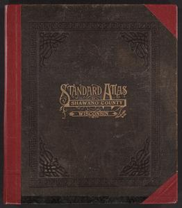
Includes a brief history of Shawano County, a business Directory listed by town and townships, illustrations and plat maps with corresponding property owners. There are also symbols on the maps that indicate schools, churches, cemeteries, railroads, and post offices. Property owners are indicated. A Township and Range Index, Illustrations Index and Patron Reference Directory are part of the 1912 volume.
Copied!
The Brown, Door, Kewaunee, Oconto and Shawano Counties: Historical Atlases, Directories, Plat Maps & High School Yearbooks Collection is a collaborative project completed by the UWDCC in cooperation with the Nicolet Federated Library System, Farnsworth Public Library, Oconto, Wisconsin, Brown County Public Library, Green Bay, Wisconsin, Door County Library, Sturgeon Bay, Wisconsin, Oconto Falls Community Library, Oconto Falls, Wisconsin, Algoma Public Library, Algoma, Wisconsin, Kewaunee Public Library, Kewaunee, Wisconsin.
The Brown, Door, Kewaunee, Oconto and Shawano Counties: Historical Atlases, Directories, Plat Maps & High School Yearbooks Collection was funded, in part, through a 2006 and 2008 Library Services and Technology Act (LSTA) grant. This grant provided financial support for public libraries to digitize and make available online, their local library resources. For more information about LSTA grants in Wisconsin, contact the Wisconsin Department of Public Instruction (DPI) Division for Libraries and Technology or visit the LSTA grant website.